About North Shore
Hercules
Discover Ohlone Dog Park – Hercules’ Hidden Gem! Ohlone Dog Park is truly a find. This one acre dog park resides within the greater Ohlone Park at 190 Turquoise Dr>>Read full story
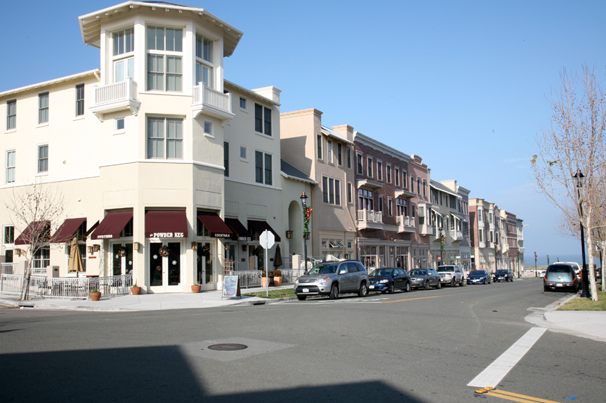
Hercules is a small residential suburb on the San Francisco Bay about ten miles from Berkeley, with a population of approximately 25,000. Hercules is a convenient stop off from Interstate 80 and Highway 4 and provides easy access to an extensive network of biking and San Pablo Bay walking trails.
Marina
Hercules’ future plans for its Intermodal Transit Center means big changes for this small city. Train Station, Ferry Terminal, & Bus Services will be added. In the meantime, Hercules is a convenient stop off from Interstate 80 and Highway 4 and provides easy access to an extensive network of biking and San Pablo Bay walking trails.
Pinole
Pinole has a total area of 13.6 square miles – 8.3 square miles of it is water. The city has habitat areas that support the endangered species Santa Cruz Tarweed on the California coastal prairie ecosystem.
Rodeo
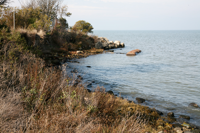
The town of Rodeo is located located in Contra Costa County, California, in the East Bay sub-region of the San Francisco Bay Area, on the eastern shore of San Pablo Bay, 25 miles northeast of San Francisco.
Rodeo is served by the Interstate 80 freeway and State Route 4. The Southern Pacific Railroad main line passes through Rodeo. Rodeo has not been a stop on the railroad since the 1950s.
Crockett
From Wikimedia:
Crockett is located where the Carquinez Strait meets San Pablo Bay. The Carquinez Bridge, part of Interstate 80, links Crockett with the city of Vallejo to the north across the strait. To the east of Crockett along the south shore of the strait are Port Costa and the city of Martinez. South of Crockett are the town of Rodeo and the city of Hercules. Farther southwest on I-80 are the cities of Richmond, Berkeley and Oakland; in the opposite direction, northeast, is the capital of California, Sacramento.
Crockett is bordered to the south and the east by two regional parks operated by the East Bay Regional Park District.
Crockett Hills Regional Park lies south of Crockett. The 1,939 acre park ranges in elevation from 150–800 feet, offering views of San Pablo Bay, the Delta, Mount Tamalpais, and Mount Diablo. Trails include a 4.5-mile segment of the Bay Area Ridge Trail. Crockett Hills is an excellent mountain biking park.[22][23]
Carquinez Strait Regional Shoreline comprises 1,415 acres of bluffs and shoreline along Carquinez Scenic Drive between the town of Crockett and the hillsides overlooking Martinez.
Port Costa
From Wikimedia:
Port Costa is surrounded by rolling hills grazed by cattle and managed by East Bay Regional Park District. Carquinez Strait Regional Shoreline stretches from Crockett through Port Costa and to Martinez. Big Bull Valley Creek runs along McEwen Road into a historic reservoir just above the town, then it runs in an underground pipe culvert beneath the town to the Carquinez Strait.